YUANMU TRAVEL · XINJIANG REFERENCE JOURNEYS

Nine Ways of Seeing Xinjiang

These nine reference journeys begin with real roads, seasons and places to stay. They show how forest, oasis, road, pasture and mountain come together to shape Xinjiang. Choose the direction that draws you in; we then adapt it around your dates, pace and interests.

Reference journeys: 9
Altay, Kanas & Ili Journey
⏱ 9 Days|✦ Reference Journey

Altay, Kanas & Ili Journey

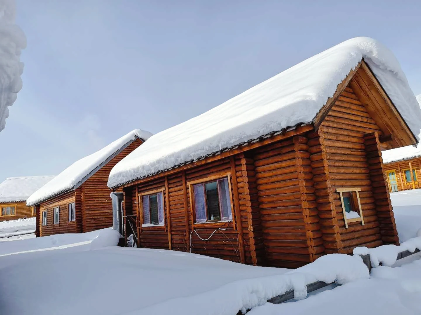
This journey follows northern Xinjiang through its changes of scale. Forested Altay, the villages around Hemu, Kanas and the wider Ili country do not belong to one landscape; the journey lets each setting arrive in its own time, rather than treating the north as a list of viewpoints.

For travellers who value changing landscapes, unhurried overnights and the contrast between forest, lake and grassland over a hurried northern tour of stops.
Altay foothills and Hemu villageKanas Lake and its three baysSayram Lake and the Ili Valley
An Introduction to Southern Xinjiang
⏱ 8 Days|✦ Reference Journey

An Introduction to Southern Xinjiang

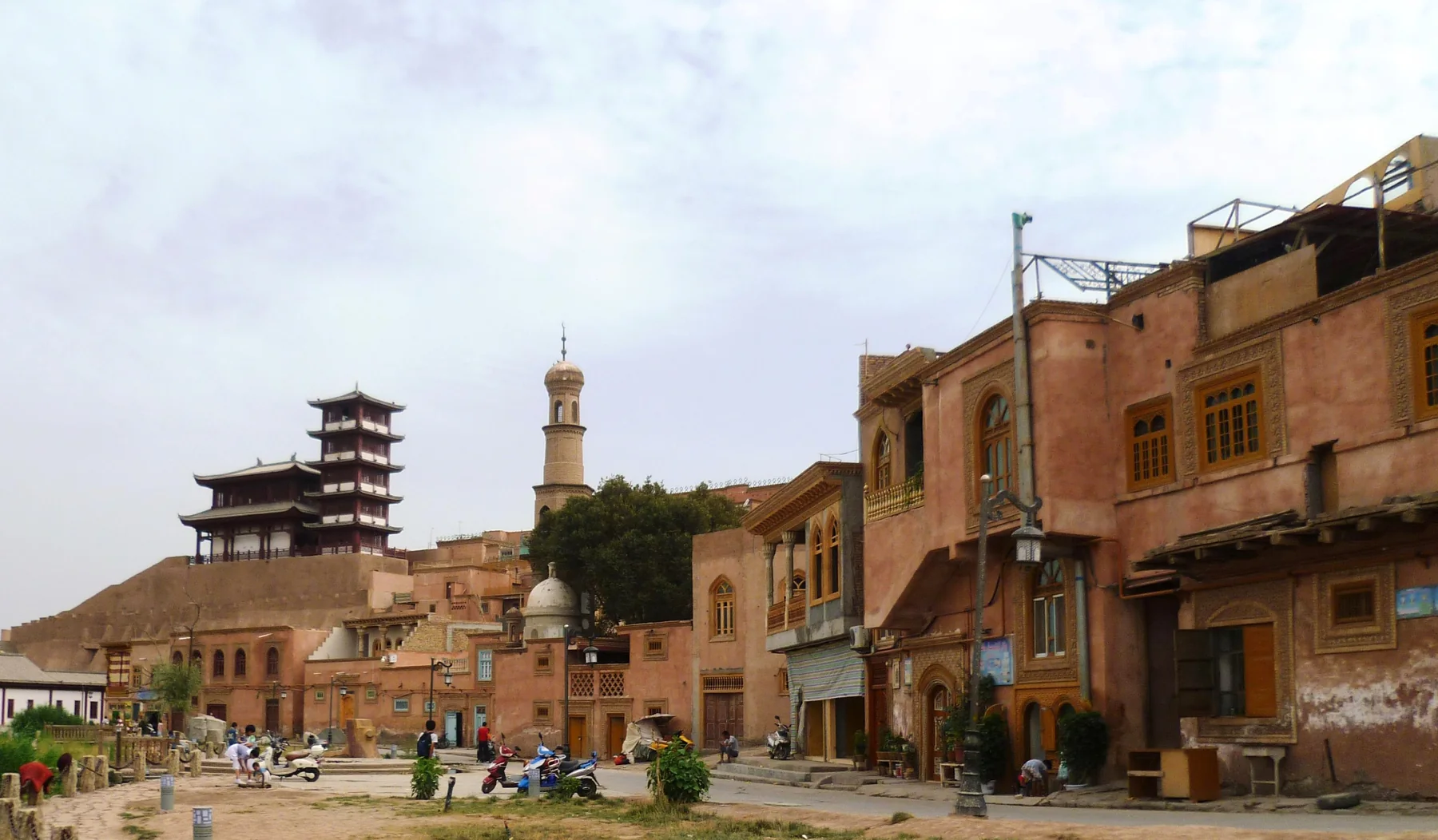
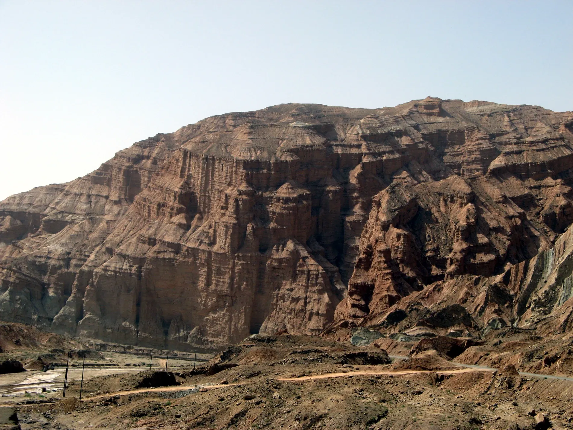
This is an introductory journey through southern Xinjiang for travellers who want context as well as movement. It joins Kashgar, oasis roads and the Pamir-facing landscape in an order that shows how trade, settlement, mountains and desert have long shaped one another.

For first-time visitors who want an informed introduction to Kashgar and southern Xinjiang without turning the region into a rushed tour of landmarks.
Lop Nur Village and KorlaKuqa's canyon, palace and naan cityKashgar Old City
Grand Xinjiang Traverse
⏱ 16 Days|✦ Reference Journey

Grand Xinjiang Traverse

This is YuanMu's broadest reference route: not a claim to have seen everything, but a way to understand how Xinjiang's northern forests, western valleys, central mountain corridors, Tarim Basin and Pamir highlands belong to one vast, changing geography.

For experienced travellers with the time and curiosity for a long private journey, where changing landscape, road rhythm and regional context matter as much as individual landmarks.
Altay, Hemu and KanasSayram Lake, Kalajun and NalatiDuku Highway, Kuqa and the Taklamakan crossing
Ili Valley & Grasslands
⏱ 8 Days|✦ Reference Journey

Ili Valley & Grasslands

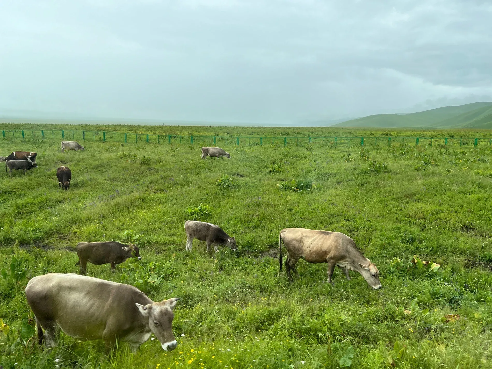
Ili is best understood as a lived valley rather than a single grassland image. This reference route follows the movement from lake and river country toward open pasture, allowing towns, road corridors and high summer light to explain why the valley feels different from the rest of Xinjiang.

For travellers drawn to open landscapes and local rhythm, who prefer a measured valley journey to a high-density road itinerary.
Sayram Lake shoreline driveKalajun grassland and TekesNalati Air Grassland
Northern Xinjiang & Ili Grand Loop
⏱ 14 Days|✦ Reference Journey

Northern Xinjiang & Ili Grand Loop

Northern Xinjiang rewards travellers who do not try to make its forest, lake, valley and mountain roads look alike. This longer loop gives each northern landscape its own passage, using the journey between them to reveal the scale that makes Altay and Ili feel connected but never interchangeable.

For travellers with time to explore northern Xinjiang deeply, who prefer a coherent loop and varied overnight rhythm to a hurried highlights tour.
Altay, Hemu and Kanas at a slower paceTwo visits to Sayram LakeZhaosu, Xiata and Tekes
Northern Xinjiang to Turpan
⏱ 12 Days|✦ Reference Journey

Northern Xinjiang to Turpan

This journey is not a collection of northern highlights followed by Turpan. It is a long-form passage through forest, open basin, valley and oasis, designed to make the region's distances and changes in ground feel coherent instead of abrupt.

For travellers who want a substantial first understanding of northern Xinjiang and Turpan, and who are comfortable with long distances as part of the journey.
Altay, Hemu and KanasSayram Lake, Zhaosu and KurdeningNalati grassland
Pamir Highlands from Kashgar
⏱ 5 Days|✦ Reference Journey

Pamir Highlands from Kashgar

The Pamir is not an extension of Kashgar; it is a change in altitude, horizon and pace. This short reference route is built around that threshold, using the road from the oasis into the high country to show how mountain routes connect landscapes across the high country rather than merely provide a dramatic backdrop.

For travellers who want a focused highland extension from Kashgar and are prepared for changing weather, altitude and long road days.
Karakul Lake and the Muztagh Ata landscapeTashkurgan and the Tajik plateauBandir Lake and White Sand Lake
Southern Silk Road & Desert
⏱ 7 Days|✦ Reference Journey

Southern Silk Road & Desert

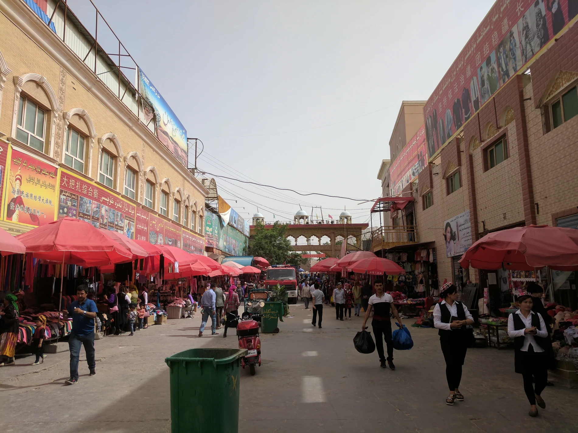
Southern Xinjiang is most clearly felt where oasis life meets the edge of the Taklamakan. This reference route follows that boundary through historic towns, working landscapes and desert crossings, treating the road as a way to understand continuity rather than as a line between headline sights.

For travellers interested in Silk Road geography, oasis culture and the slower relationship between historic towns and the desert basin.
Kashgar, Yingjisha and YarkandHotan Old Town and evening marketNiya and the G216 desert highway
Turpan & the Western Tianshan
⏱ 8 Days|✦ Reference Journey

Turpan & the Western Tianshan

Turpan and the western Tianshan make sense together because they reveal how Xinjiang is organised by water, elevation and passage. The journey begins with an oasis shaped by long settlement and engineered water, then moves outward toward the mountains where the scale, temperature and road logic change.

For travellers interested in Silk Road settlement, desert-edge geology and a clear transition from oasis civilisation to mountain country.
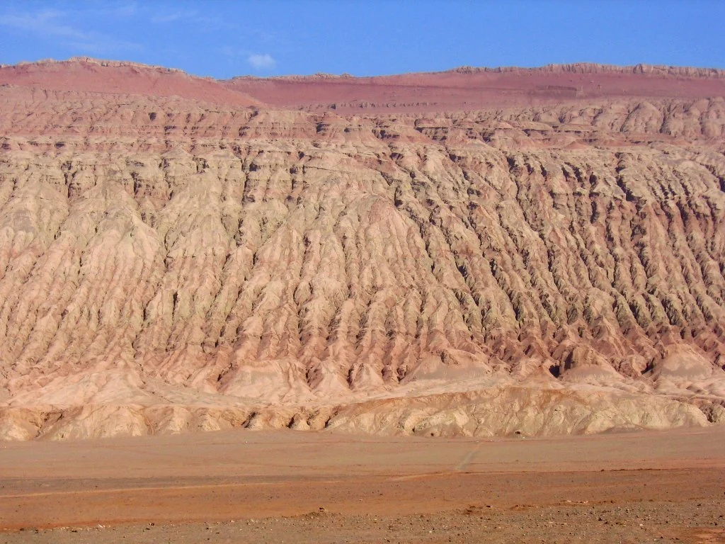
Turpan's karez wells, vineyards and Flaming MountainsSayram LakeKurdening forest and Nalati grassland
TAILOR-MADE CONSULTATION

Start a Conversation with YuanMu

Whether you have a fully formed itinerary or just a vague idea about visiting Xinjiang, our local experts are here to guide you with transparent advice.