
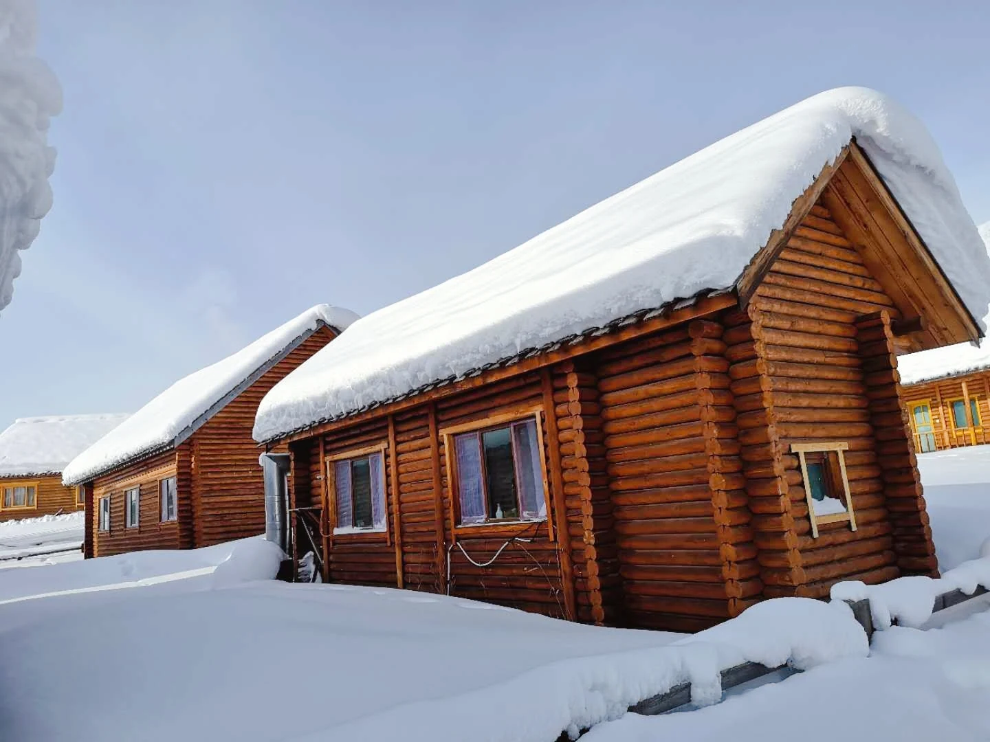
Follow Xinjiang's northern edge from Urumqi through Altay, Hemu and Kanas, then turn west to Sayram Lake, Yining and Nalati. It is a full northern landscape journey for travellers who want forest villages, lakes and open grassland in one considered route.
A YUANMU PERSPECTIVE
A northern journey shaped by water, forest and open country
This journey follows northern Xinjiang through its changes of scale. Forested Altay, the villages around Hemu, Kanas and the wider Ili country do not belong to one landscape; the journey lets each setting arrive in its own time, rather than treating the north as a list of viewpoints.
ROUTE CHARACTER
Why This Route
- Let the Altay forest world set the opening rhythm before moving west and south.
- Use roads as transitions between distinct ecologies, not as empty distance between attractions.
- Leave room for weather, light and village life to alter the pace.
WHO THIS PERSPECTIVE SUITS
For the Traveller
For travellers who value changing landscapes, unhurried overnights and the contrast between forest, lake and grassland over a hurried northern tour of stops.
THE JOURNEY, DAY BY DAY
Day-by-Day Itinerary
Arrival in Urumqi
Route: Urumqi airport to city hotel
Arrive in Urumqi and settle into the city before the northern road journey begins.
Desert highway to Altay
Route: Urumqi to S21 Desert Highway to Karamay Desert Park to Altay
Cross the S21 desert corridor and continue north to Altay, with the landscape changing from open basin to mountain foothills.
Altay to Hemu
Route: Altay to Ahe Road to Hemu
Travel toward Hemu by the Ahe Road when it is open; the alternate road is confirmed with the current season's operating plan.
Hemu to Kanas
Route: Hemu to Kanas Lake
Leave the wooden village landscape for Kanas, where the route slows down for the lake and forest setting.
Kanas three bays to Kuitun
Route: Kanas to Moon Bay to Wolong Bay to Kuitun
Visit the Kanas bays before a longer transfer south-west toward Kuitun.
Sayram Lake to Yining
Route: Kuitun to Sayram Lake to Yining
Reach Sayram Lake for its high, open shoreline before continuing into the Ili Valley.
Ili Valley to Nalati
Route: Yining to Nalati Air Grassland to Nalati
Head inland from Yining to Nalati, where the grassland visit is paced around the day's weather and access conditions.
Nalati to Urumqi
Route: Nalati to Duku Highway or Tianshan Shengli Tunnel to Urumqi
Return to Urumqi on the Duku Highway when open, with the Tianshan Shengli Tunnel used when the seasonal route is unavailable.
Departure from Urumqi
Route: Urumqi hotel to airport
Depart from Urumqi or extend the stay with a separately planned city visit.
PLAN WITH CONFIDENCE
Season and Road Notes
Summer and early autumn, subject to mountain-road operating conditions
Late spring to early autumn changes what the route reveals: green pasture, summer access and autumn colour each create a different northern Xinjiang, while mountain conditions always set the final rhythm.
- The Ahe Road and the Duku Highway are used only when officially open.
- A seasonal road closure changes the routing rather than removing the journey's core destinations.
PLACES ALONG THE WAY
Journey Landmarks
MAKE THE ROUTE YOUR OWN
How This Journey Adapts
We can lengthen forest and village stays, add photographic time, or shift the Ili balance, while confirming mountain access, accommodation and driving conditions for the chosen dates.