
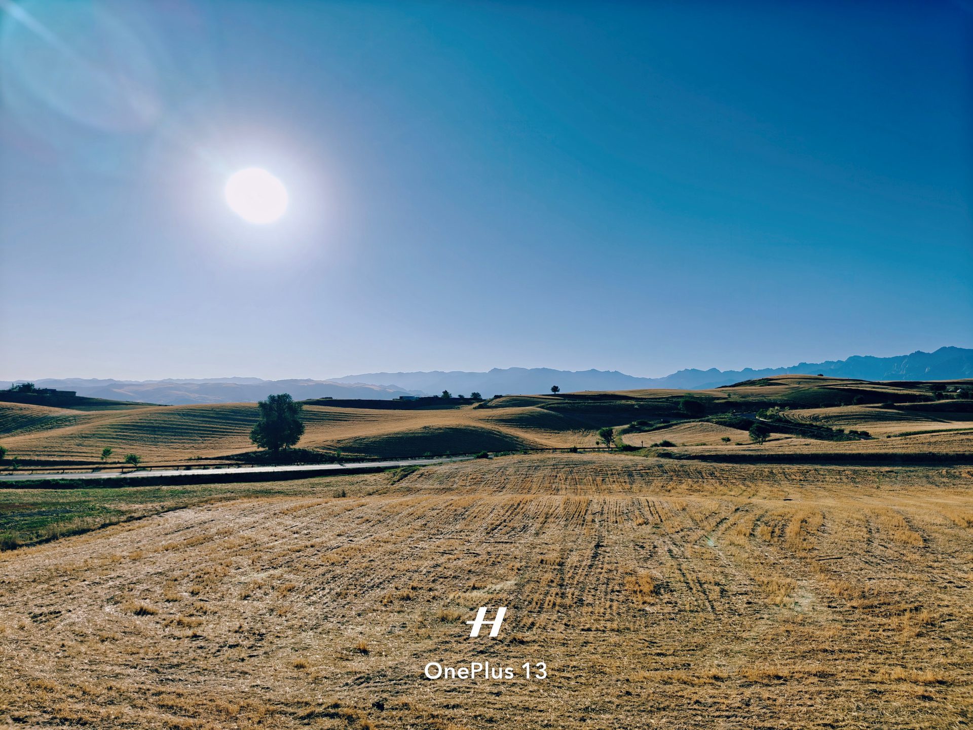
A road journey from harvested wheat fields to a Han garrison, then west to a museum and the earthen remains of a vanished city, reading two thousand years of life along the northern Tianshan.
A road journey along the northern Tianshan foothills from harvested wheat fields to a Han garrison, then west to a museum and the earthen remains of a vanished city.
Why Wheat Grows on These Slopes
Farming in Xinjiang often brings to mind rivers, snowmelt and long irrigation canals. Jiangbulake belongs to a different agricultural landscape.
These fields are part of the Qitai Dryland Farming System, designated in 2015 as one of China’s Nationally Important Agricultural Heritage Systems.
Much of the highland farmland lies at roughly 1,700–1,800 metres above sea level, with slopes of around 20 degrees in places. Wheeled machinery can lose traction on the steeper ground, so tracked tractors are often better suited to fieldwork. Unlike many intensively irrigated oasis farms elsewhere in Xinjiang, this is rain-fed agriculture: the wheat depends primarily on natural precipitation.
The reason these wheat fields rise and fall so visibly across the hills is simple:
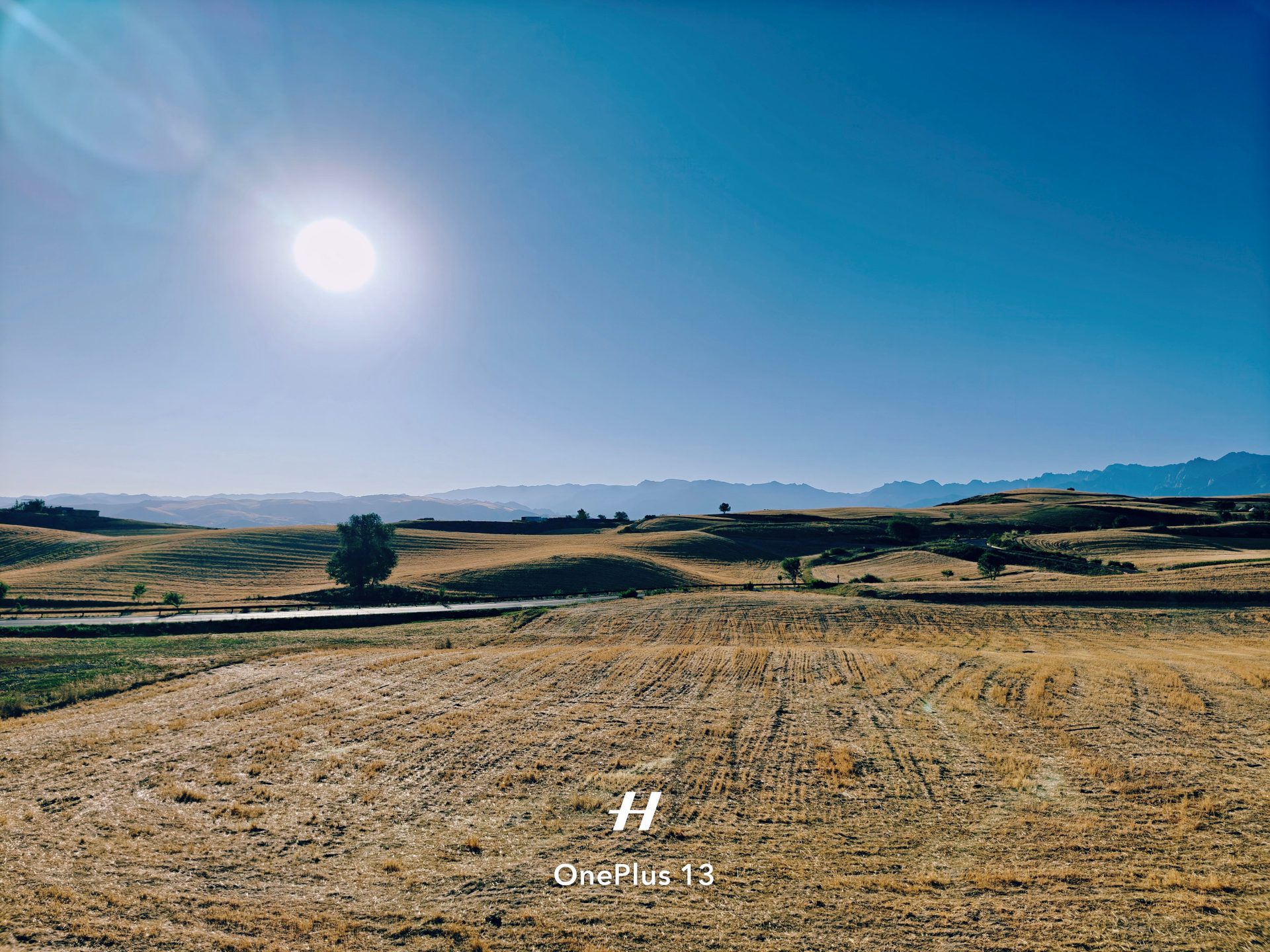
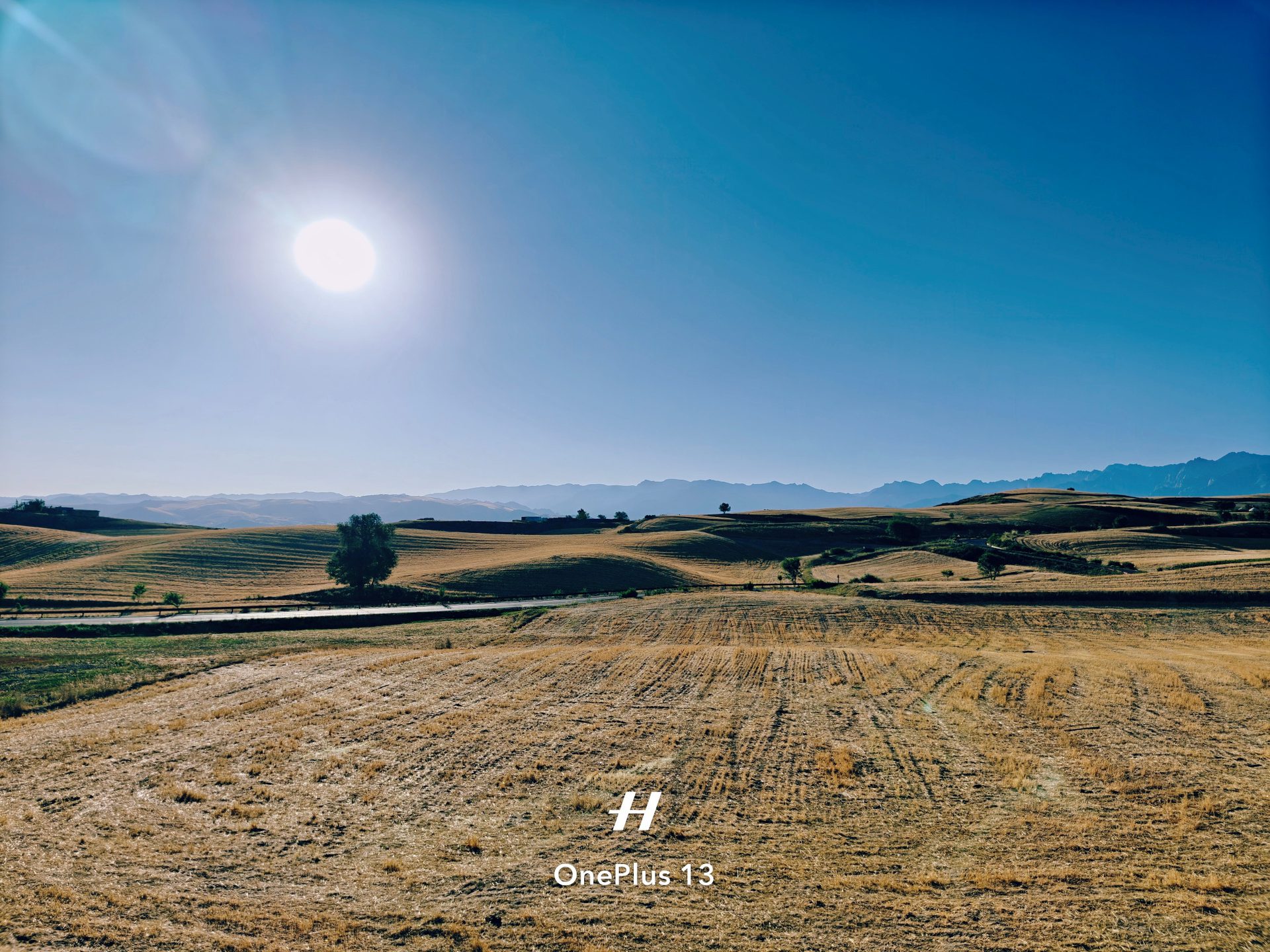
After harvest at Jiangbulake, the wheat recedes and the shape of the land comes back into view.
Continue deeper into Jiangbulake and the same way of reading the terrain begins to mean something very different.
Hidden inside this landscape are the remains of a city nearly two thousand years old.
A Han Garrison Hidden in the Wheat Fields
Archaeologists know it as the Shichengzi Site.
Based on its chronology, fortifications, excavated remains, radiocarbon dates and historical records, archaeologists generally identify Shichengzi as the probable site of Shule (Shule City), the Eastern Han garrison described in the Book of the Later Han (Hou Han Shu).
At the site, the hills you were admiring only moments earlier suddenly acquire a military logic.
Shule occupied a projecting spur. Walls defended the north and west, while steep ravines and slopes formed natural barriers to the east and south. Corner towers, projecting bastions and a moat strengthened the defences; water flowed through the ravine below.
Geng Gong, an Eastern Han commander, was not originally stationed here. As the military situation changed, he moved his troops to Shule. The Book of the Later Han gives a terse reason: there was a ravine nearby with water, making the position defensible.
Stand there today and the sentence almost explains itself.
A traveller sees a ravine; soldiers see a natural defence. A traveller climbs for the view; a garrison holds high ground to watch who is approaching. The water below is not scenery at all. It is part of what makes a long stay possible.
A Garrison Still Had to Eat
Tell Shule only as a military story, and the people behind the walls quickly disappear.
Archaeology brings them back through smaller things: crops, livestock and the routines of daily life.
Archaeobotanical and multidisciplinary research at Shichengzi has documented naked barley, wheat, broomcorn millet and foxtail millet, alongside sheep, cattle and horses. The picture is not simply of soldiers behind a wall, but of a community that had to grow food, manage animals and sustain itself in a mountain environment.
Even some building materials preserve traces of agricultural by-products.
Standing here, it is tempting to look back at Jiangbulake’s wheat fields and draw a straight line across two thousand years.
There is no evidence that any particular field at Jiangbulake has been cultivated continuously since the Han period, nor that today’s dryland farming system is a direct continuation of Han military farming.
What the evidence does allow us to say is quieter — and more interesting:
Westward — History Crosses Five Centuries
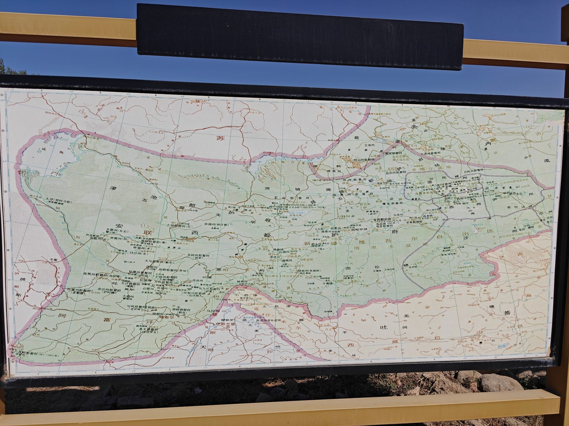
In AD 640, the Tang Dynasty established Tingzhou (Ting Prefecture) here. In 702, the Beiting Protectorate was established, and Beiting became one of the region’s major military and administrative centres.
More than five centuries separate the Eastern Han garrison at Shule from Tang-era Beiting.
This road trip is not a search for what Shule “became”. The two cities do not form a simple line of succession.
Modern roads simply allow us to move, in a single journey, between two very different historical landscapes.
A historical map at Beiting. The drive west is short; the jump in historical time is not.
When you reach Jimsar, resist the urge to head straight into the ruins.
Start with the museum.
At Beiting, Let the Museum Teach You How to See
The Silk Road Beiting Ancient City Site Museum opened to the public in July 2022. For a first visit, it is the best place to start.
Walk straight into the Beiting Ancient City Site with no context, and the first reaction can easily be: Is this it?
There are no intact palaces and no reconstructed Tang streets. What survives above ground is mostly rammed-earth walls, building foundations, subtle rises in the ground and faint traces of roads.
The museum gives those remains a grammar.
Beiting was not merely a ring of walls. It had gates and streets, military and administrative institutions, and people who lived, worked, traded and passed through. A seal, a ceramic vessel or a coin may look modest on its own. Together, they turn “Beiting” from a historical label into a city that once had to function every day.
Arriving at the Beiting Ancient City Site. The museum and the ruins are best understood as two halves of the same visit.
First, let the museum restore the city in your mind.
Then step outside.
Outside, Looking for the City on the Land
The experience changes immediately.
A wall that seemed obvious on a model may be little more than a ridge of rammed earth on the ground. A street that was clear on a plan may survive only as a faint line across open land.
The core area of the Beiting Ancient City Site covers about 1.5 square kilometres and is broadly divided into an outer city and an inner city. Ongoing excavations are gradually clarifying how its walls, gates, roads and major buildings once fitted together.
The site plan at Beiting: once you have seen the whole city from above, the low earthworks outside become much easier to read.
This is what makes Beiting compelling.
It does not rebuild history for you.
The museum tells you what that skeleton once was. Outside, you have to find the city again in the earth.
A Fodder Ledger Feels Closer to Life Than "Silk Road Hub"
Archaeology gives Beiting a shape. Documents bring back its voices.
Documents unearthed in Turpan and Dunhuang include records connected with Beiting — not only military and administrative matters, but also money, transport, grain, fodder and horses.
One fodder ledger preserves a wonderfully small detail:
The title panguan referred to an administrative assistant on a senior official’s staff; dou and sheng were traditional measures of volume. Researchers identify this “Cen” as Cen Shen, the Tang poet whose frontier verse would later make this part of the world vivid to readers far away.
We no longer know what those seven horses looked like.
But the ledger remembers that there were seven of them, and how much they ate.
That tiny fact can feel more immediate than simply calling Beiting “an important Silk Road hub”.
Someone saddled horses here. Someone measured fodder. Someone kept accounts. People set out along roads and returned from them.
The city was not built in order to become a ruin.
It was simply somewhere people lived.
Two Thousand Years Along the Northern Tianshan
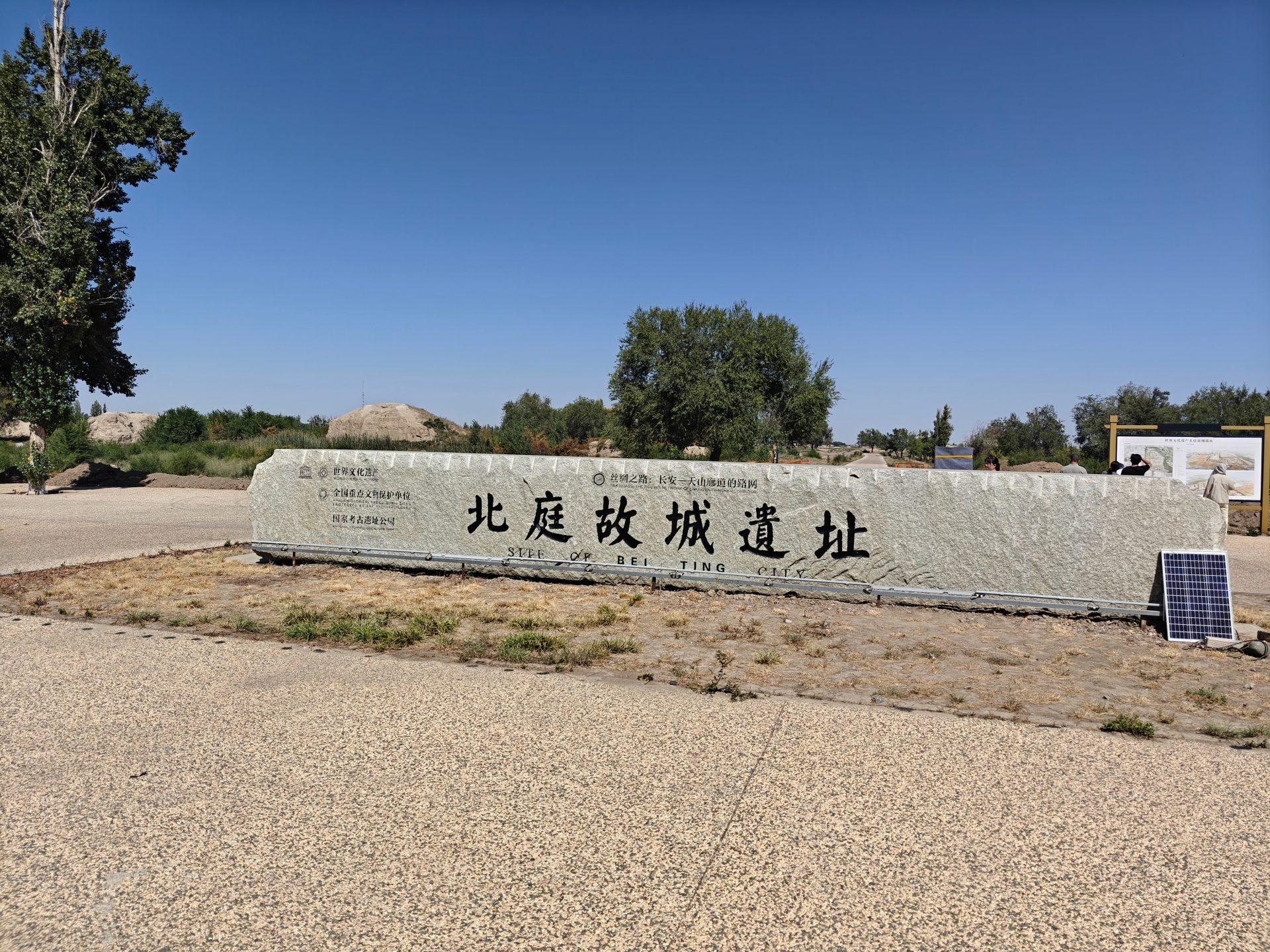
First came harvested wheat fields. Deeper in the hills, Shule stood beside a ravine. Farther west, the museum restores Beiting as a city in your mind; outside, it dissolves back into walls, faint road traces and earth.
There is no single historical line to draw between them. Shule did not grow into Beiting, and Jiangbulake’s modern wheat fields are not Han farmland preserved unchanged for two millennia.
What the journey connects is your way of seeing.
In the morning, you notice why wheat follows a slope. At Shule, you realise that the same terrain could once be turned into a defence. At Beiting, the question grows larger: how did a city organise walls, roads, people, horses and ordinary life into a working whole?
Leave Beiting and look back toward the Tianshan, and the wheat fields from that morning may return to mind.
The wheat will be sown again next year.
Tractors will still have to follow the slopes.
Shule survives as an archaeological site.
Beiting survives in earthen walls.
This journey spans nearly two thousand years. The one constant is the northern foothills of the Tianshan.