
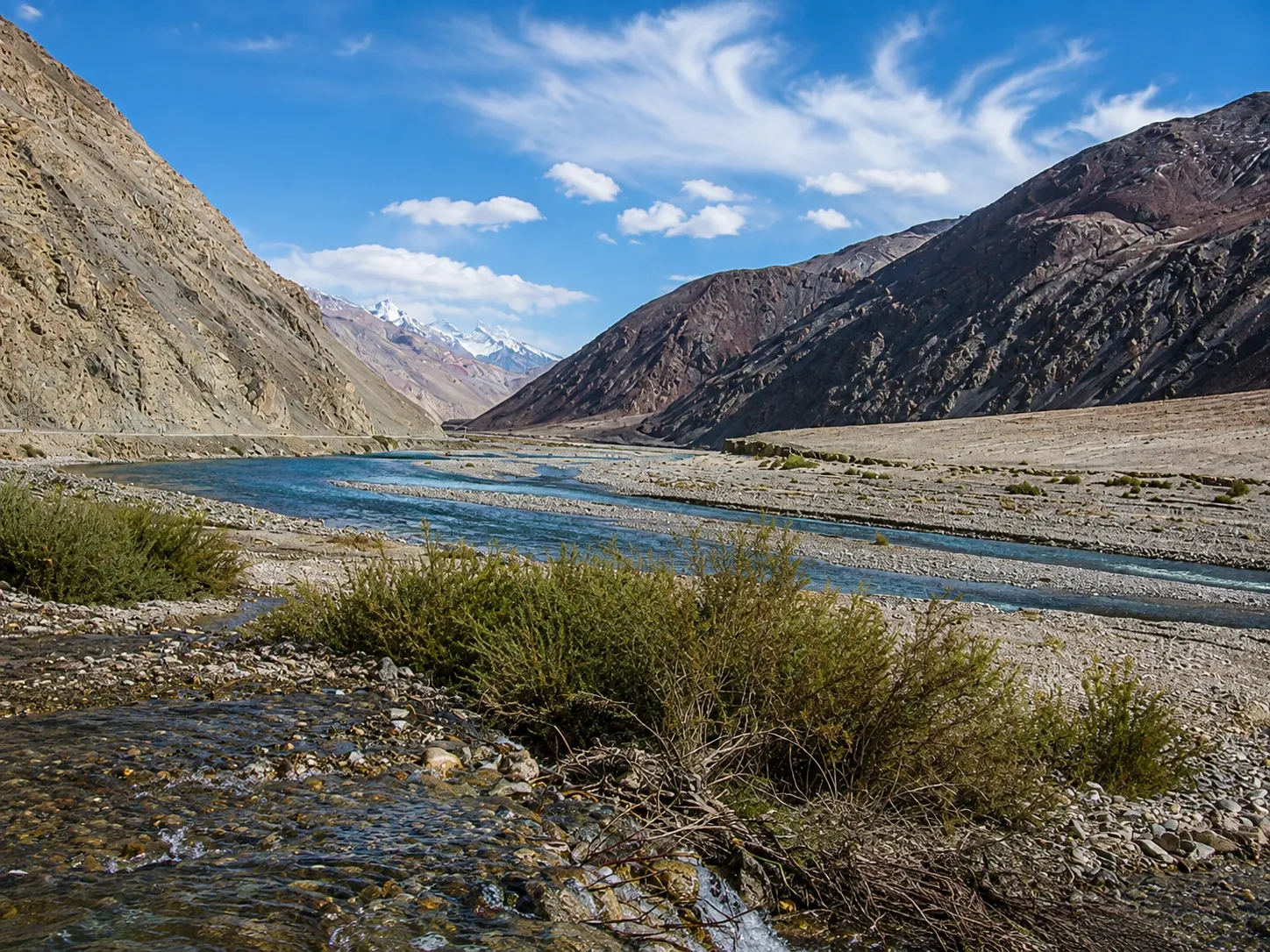
G219 through the Kunlun Mountains is more than 10,000 km nationally; passability varies by section. Beyond Yecheng, the clean line on a map breaks into curves shaped by terrain, scale, slopes and valleys.
Before departure, the map is simple.
Yecheng is one point. Somewhere ahead is another. Between them: a line.
Once the car begins to climb, that line stops being useful. The road turns. It presses against the foot of a mountain. It slips into a valley. It rises along a slope. Sometimes the mountain ahead is close enough to show its layers of rock, yet the road suddenly bends away from it.
Nothing has gone wrong. The mountain simply does not allow a straight approach.
Reading the Road in Space
The stages below show how a mountain road acquires its real shape once the terrain begins to rise.
Start on a Flat Map
On the screen, the road is a number, a distance and a clean line.
The Ground Begins to Rise
The mountains close in and the road is pushed between rock and valley.
The Bends Begin
A change of direction is no longer a detour. It is an answer to slope, river and rock.
Seeing Is Not Reaching
Your eyes can travel in a straight line. Tyres cannot.
The Road Belongs to the Mountains
The map gives distance. The mountains decide the way.
Road Intelligence · 2026
Check official road, weather and high-altitude travel conditions before departure.
This story begins where G219 leaves Yecheng and enters the Kunlun mountain environment.
The point is not simply how far. It is what happens when a flat map enters three-dimensional terrain.
In the mountains, being able to see a place does not mean a road can go there directly.
A bend is not decoration or deviation. It is often the solution.
Maps Flatten Mountains
Maps are good at distance. Kilometres. Arrival time. How far until the next turn.
They are less good at one thing: terrain.
A mountain on a screen has no weight. No slope. No wall of rock rising from a valley floor to the sky.
So G219 still looks like a line on a phone. Once the car leaves Yecheng, that line gains thickness. The mountains move closer. The road is squeezed into the space between slope and valley.
The map is not wrong. It is simply too flat.
Mountains Do Not Accept Straight Lines
On a plain, straight usually means efficient. In the Kunlun Mountains, a straight line may mean nothing at all.
A wall of rock stands in front of you. A valley cuts away in another direction. A slope falls off below. The road has to look for another place to exist.
So it follows the mountain, bends around it, and turns back. These curves are not decoration. They are not there to make driving interesting. They are simply the answer.
The mountain sets the conditions. The road responds.
A curve is not a detour. The curve is the way through.
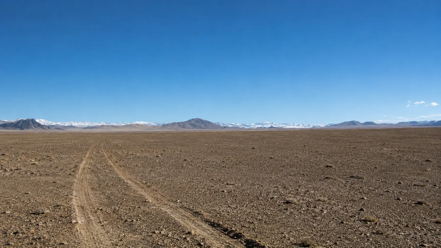
After a Bend, the Mountain Changes Its Face
The pleasure of a mountain road is not that the mountains are always visible. It is that they keep changing.
A rock wall may fill the window. Seconds later the bend ends and the view breaks open. A valley drops below. Distant ridges return. Another bend, and they disappear again.
On flat ground, direction is only direction. In the Kunlun Mountains, direction decides what can be seen.
Which slope catches the light. Which layer of rock comes into view. Which side of the car holds the snow peaks. Even the shape of the sky changes with the road.
Seeing Is Not the Same as Reaching
Distance is easy to misread in the mountains. A ridge looks close. The mouth of a valley is already visible. Yet the car keeps moving and the place ahead remains where it was.
The reason is simple. Your eyes can move in a straight line. A car cannot. Sight can cross a valley. Tyres must stay on the ground.
That is when distance becomes three-dimensional. A map gives length and width. A mountain adds height, gradient, direction and the rock that must be worked around.
In the mountains, seeing somewhere and reaching it are two different things.
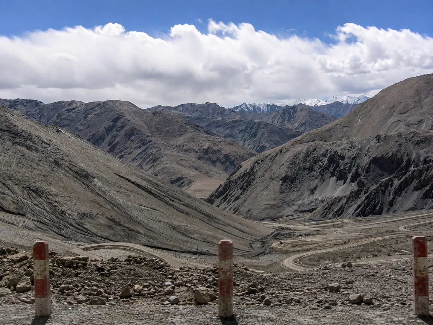
The Road Shows You the Size of the Mountain
From inside a car, scale is easy to underestimate. Glass keeps out the wind. The engine stays steady. Navigation keeps counting numbers. Everything feels controlled.
Then, around one bend, you see the road ahead. It is cut into the mountainside, thin as a scratch. A car on it is only a dot.
Only then do you understand the size of the mountain you have been travelling through.
Some of G219’s strongest images are not mountain summits. They are moments when road and mountain appear in the same frame. Without the road, scale is difficult to judge. Add one narrow grey line, and the mountain becomes enormous.
Eventually, You Stop Asking Why the Road Turns
At first, you keep checking the navigation. How many kilometres remain? Why are we going this way? Why is the place we saw ahead still not here?
After enough time in the mountains, those questions begin to disappear. Not because you have memorised the road, but because you understand something simpler: a mountain does not produce a straight line just because your destination lies ahead.
Some slopes have to be followed. Some obstacles have to be worked around. Some directions only become possible after the next bend.
The road is not drifting away from the route. It is following the terrain.
Straight Lines Belong to Maps
At the end of the day, open the map again. The route is still simple. A few points. One line. Some numbers.
The screen cannot show which mountainside that line followed. It cannot show the bend where a wall of rock suddenly opened into a valley. It cannot show why a route that looks crooked may in fact be the most direct answer the terrain allows.
A map tells you how far apart two points are. A mountain decides how you get from one to the other.
Straight lines belong to maps. The road belongs to the Kunlun Mountains.